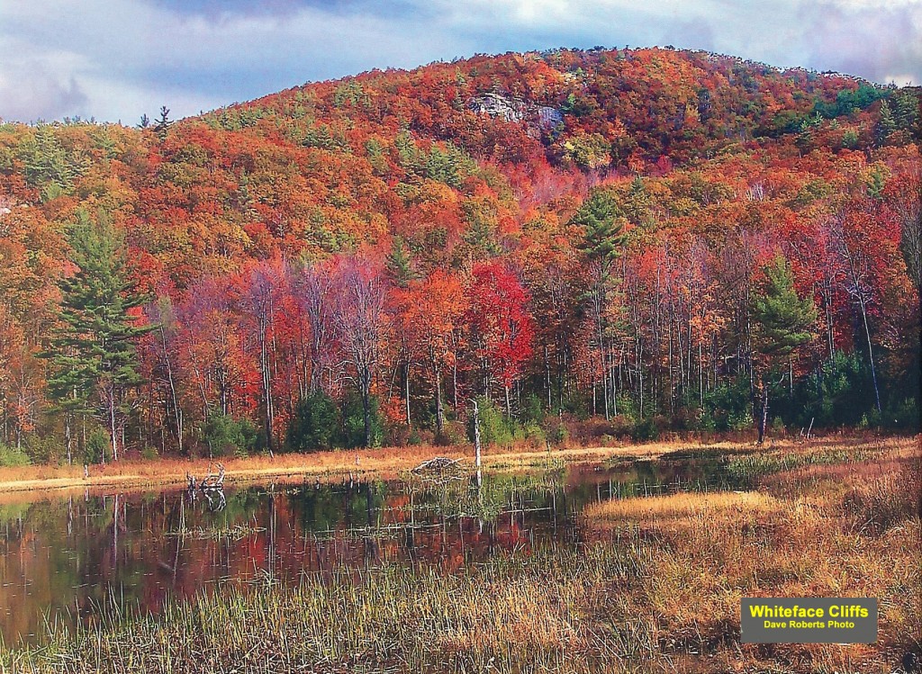
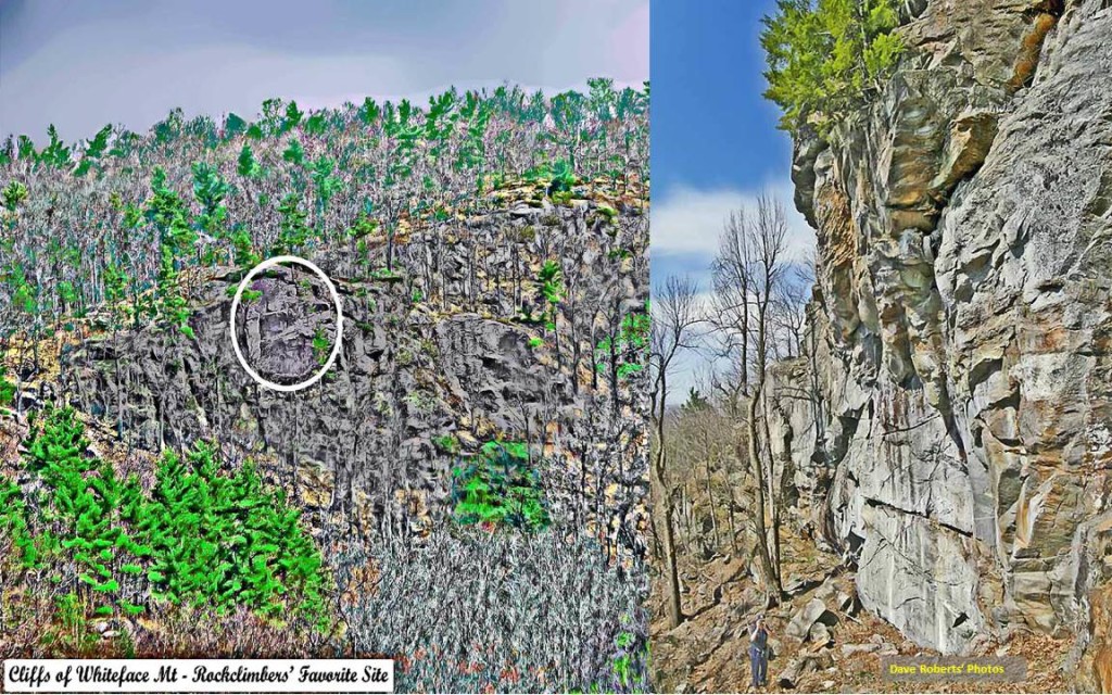
Cliffs of Whiteface Mountain, Gilford/Gilmanton, NH
By Dave Roberts
I have usually assumed that the majority of hikers who visit Whiteface from the trails leading to the summit from the north seldom ever actually go to see the cliffs that have given that mountain its name – the fact that those cliffs exist is perhaps not known to them, and the trail from the top of the mountain down to the top of those cliffs has seldom been obvious. So what may be probably the best views from Whiteface are seldom appreciated.
Gilford and Gilmanton share the mountain, with the peak being in Gilford (just barely) and the cliffs being in Gilmanton. There is an old trail, part pasture road and part mountain trail, that comes up from the Durrell Mt. Rd. on the Gilmanton side – it leads up to the top of the mountain, and, on the way, it goes right past the southern edge of the ‘famous’ cliffs of Whiteface and then past the ledgy top of the cliffs, where one can go out onto the cliff top (be careful, for the top is sharply slanted and it’s a very long drop off the top of that vertical ledge) and get great views to the south of both the local area and much farther to the south (Mt Monadnock and beyond – about 60 miles).
Whiteface was one of the very earliest peaks of the range that was seen as a “recreation site” by the first settlers of the area. The cliffs on the southern side of the mountain are probably the most impressive cliffs of the Belknap Range, in my opinion at least. Even when the scenery of the White Mountain became known and first appreciated, the “common folk” could not take the time it would take in those days to get to that venue by horse and buggy, so local sites of a similar (though considerably lesser) attraction had to serve for them – in Gilmanton’s case (Gilford would for quite a while be part of Gilmanton) the cliffs on the southern side of Whiteface (known as Porcupine Hill in that day) were the next-best thing as a substitute for the White Mountain’s experience.
In recent years the rock-climbing community has come to appreciate the ruggedness and extreme verticality of these very impressive cliffs and have listed it on rock-climber’s web sites as a worthy challenge to their skills. In the early 1800’s the students of the then-nascent Gilmanton Academy also came to appreciate them as well, but probably as something to be admired and wondered about rather than a challenge to their physical skills; it was reported in the very first geological survey of the state (Jackson,1844) that Gilmanton Academy’s students used the site as a recreational venue. Other reports of the day suggest that adults of the area would also sometimes take their horse and buggies to the cliff site (lots of cleared pasture land in those days must have made the cliffs much easier to be seen, right from the Durrell Mt. Rd) as a recreational outing, with picnic baskets and parasols no doubt.

